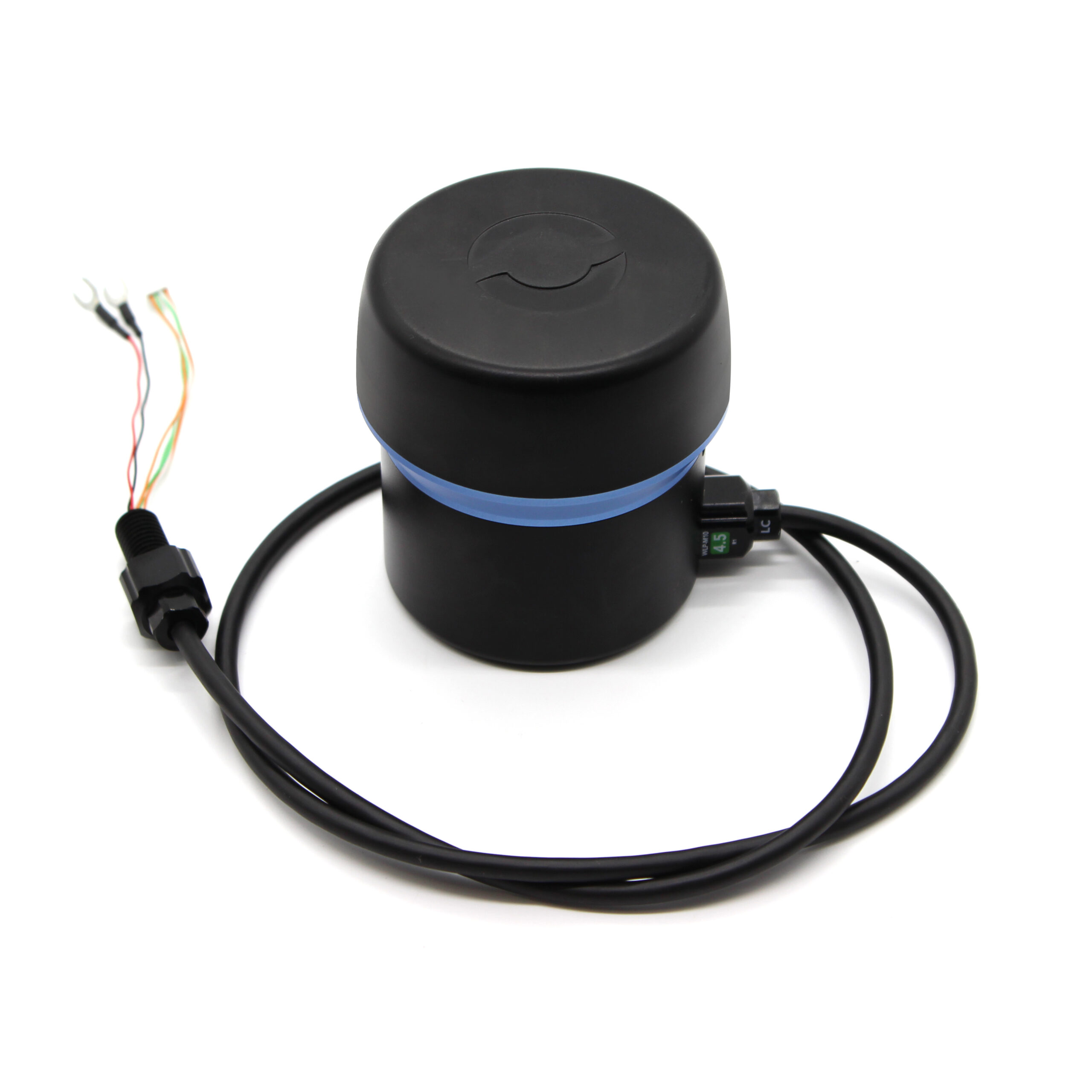
Description
Tracker 650 does only what you need a DVL to do, namely, to provide velocity information so that the vehicle control system can execute its advanced stabilization protocols like position hold and integrated position tracking. Rather than build in extra cost and complexity, Tracker 650 leverages the IMU in the vehicle as the central source of truth about attitude. This also simplifies setup as there is only one IMU to calibrate.
Tracker 650 is perfect for integration by OEMs into their ROV platforms and Cerulean supplies all documentation and engineering support for these scenarios.
Specifications
|
Maximum Depth Rating |
300m |
|
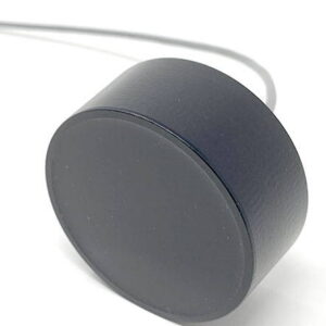
Device Diameter |
108mm |
|
Weight in Air |
550g |
|
Weight in Water |
135g |
|
Maximum Operating Height (above target plane)* |
25-50m |
|
Minimum Operating Height** |
50cm |
|
Maximum Operating Speed*** |
5kts |
|
Number of velocity sensors |
3 |
|
Sensor down angle from horizontal |
70° |
|
Angular Operating Envelope, Degrees off vertical |
0 to 20° |
|
Ping Frequency |
675kHz |
|
Ping Repetition Rate |
5 -20Hz |
|
Supply Voltage |
10V to 30V DC |
|
Typical Power
(averaged over 1 second)
|
2.75 watts |
|
V-in Current, Peak
(largest current spike during operation irrespective of voltage)
|
0.5amp |
|
Ethernet Support**** |
10/100Mbps |
|
Serial Comms Voltage Levels**** |
3.3V TTL or 5V TTL, auto sense |
|
Serial Parameters, Default**** |
115200,8,N,1 |
* Achieved maximum height is dependent on several variables, including tilt of the sensor head, flatness of the target plane, hardness of the target plane, vegetation cover on the target plane, and salinity. On a hard-bottom body of water such as Minnesota’s Lake Superior, we regularly achieve 50 meters. On a muck-bottom lake such as Minnesota’s Lake Minnetonka, we sometimes struggle to get 30 meters.
** Assuming the sensor head is oriented parallel to the target surface.
*** Maximum speed may vary with height above target plane.
**** The recommended interface is Ethernet. Serial interface is possible with a user-supplied custom cable. Some features, such as MAVlink REST server communication, are lost when using serial.